

Hikezilla ProjectBuildingConservation
WildGuard
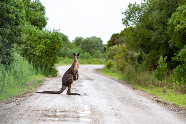
Geospatial modeling to reduce wildlife road collisions in Australia.
About
WildGuard explores how location data can be used to predict where and when wildlife–vehicle collisions are most likely to occur, with the goal of preventing future deaths rather than only documenting past incidents.
Using publicly available animal–vehicle strike data, the project focuses on identifying high-risk road segments, particularly during dusk, night, and seasonal movement periods where wildlife activity is highest.
WildGuard is intentionally open-source and community-driven.
What's done
- Analyse datasets
- Initial risk model prototype
Next steps
- Build interactive risk map
- Open data pipeline for contributors
Wins
No approved contributions yet.