

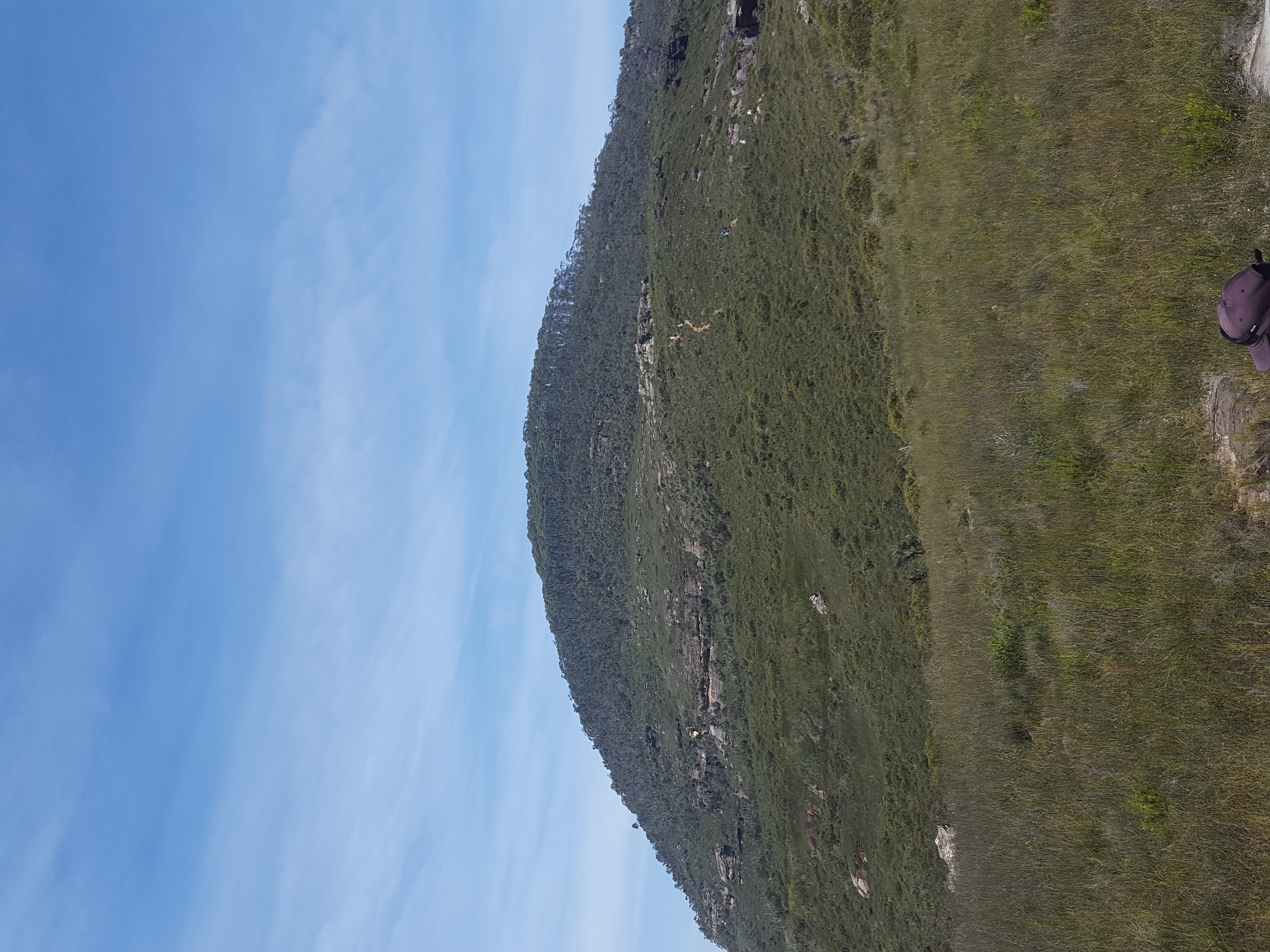
Mount Banks Summit walk
Blue Mountains, NSW
Steep 2.4 km return Grade 3 climb from Mount Banks picnic area to the basalt-capped summit over the Grose Wilderness.
About this place
NPWS lists Mount Banks Summit walk as a 2.4 km return Grade 3 track, 2-3 hours, starting at Mount Banks picnic area off Bells Line of Road. It is a different outing from the picnic area itself: a steep formed climb to an unfenced summit with monkey gums on the basalt cap and panoramic Grose Wilderness views. A longer 4.7 km loop returns via Mount Banks Road cycle route. Open, with no current track alerts.
Access & getting there
From Richmond, drive Bells Line of Road; about 10 km past Mount Tomah take the Mount Banks picnic area turnoff and follow the unsealed road 1 km. Busy on weekends. No dogs. This is the summit walk, not just the picnic ground.
Mount Banks picnic area, Mount Banks Road off Bells Line of Road NSW
Safety notes
Unfenced summit. Supervise children. Wind on the ridge. Carry water.
Gear notes
Drinking water, hat, sunscreen, topographic map or GPS.
On the map
Community photos
Posts from this place will appear here soon.
Events nearby
Linked Hikezilla events coming soon.
Connected challenges
Tied to challenges — coming soon.