

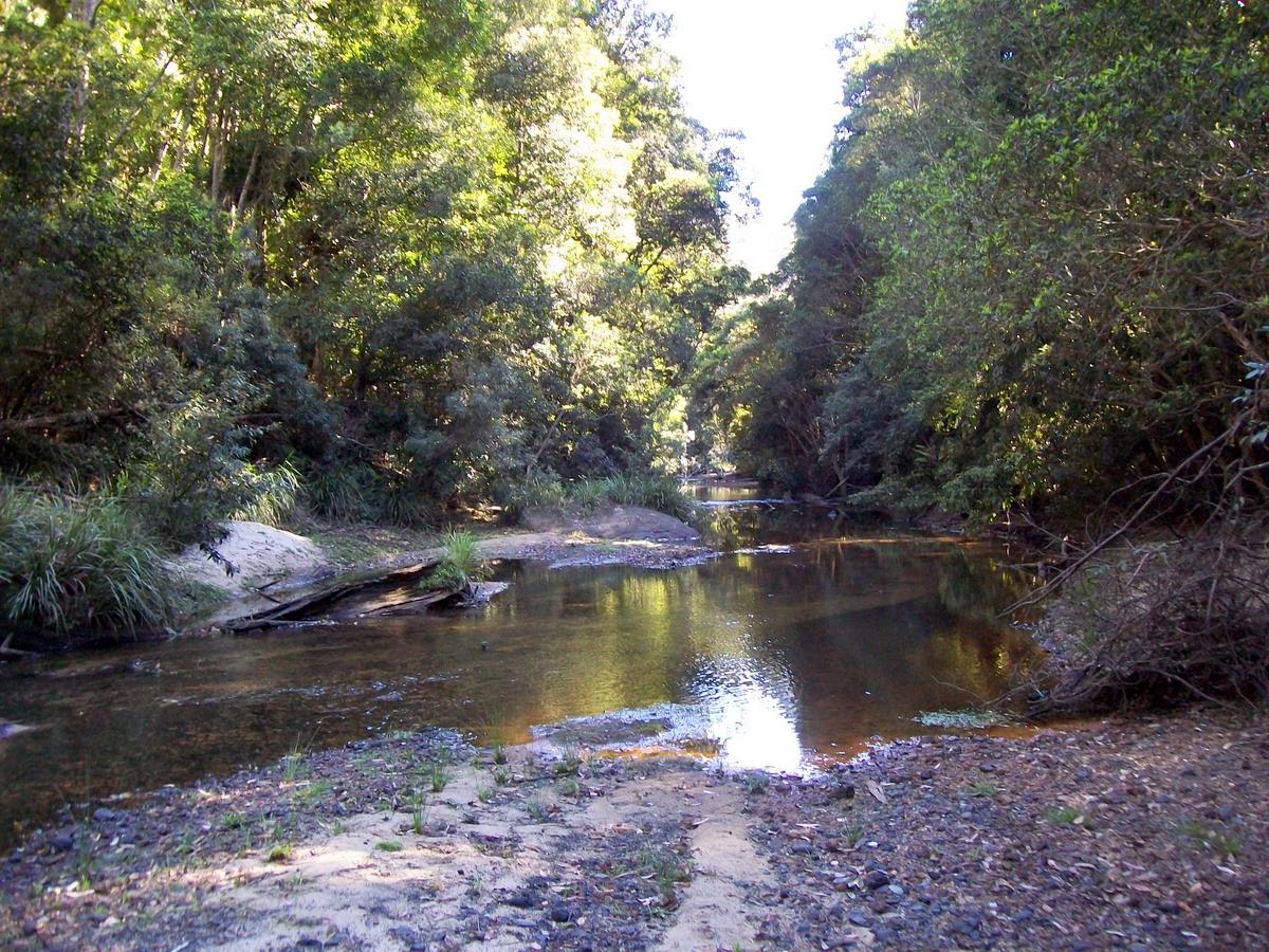
Lady Carrington Drive
Royal National Park, NSW
A historic riverside carriage road in Royal National Park — 10km of rainforest, lyrebirds and creek crossings from Audley.
About this place
Lady Carrington Drive was the park's first scenic route, opened in 1886 as a carriageway and now a shared walking and cycling trail along the Hacking River. It is an easy, mostly flat 10km one-way from Audley to Lady Wakehurst Drive, crossing 15 named creeks and passing picnic clearings, Jersey Spring's old horse troughs and a short detour to Palona Cave. Perfect if the Coast Track feels too committing, or as a post-Audley leg-stretcher. Bikes give way to walkers.
Access & getting there
Park entry fee applies. Vehicle access only as far as Fig Tree Flat; the rest is walkers and bikes. Track can be boggy after rain. Car shuffle possible at the southern end on Lady Wakehurst Drive.
Lady Carrington Drive, Audley NSW 2232 (from Sir Bertram Stevens Drive south of Audley Weir)
Safety notes
Shared with cyclists. Flooding and boggy ground after heavy rain. Leeches possible in wet weather.
Gear notes
Walking shoes or a mountain bike. Insect repellent after rain. Carry water.
On the map
Community photos
Posts from this place will appear here soon.
Events nearby
Linked Hikezilla events coming soon.
Connected challenges
Tied to challenges — coming soon.