

Burning Palms
Sutherland Shire, NSW
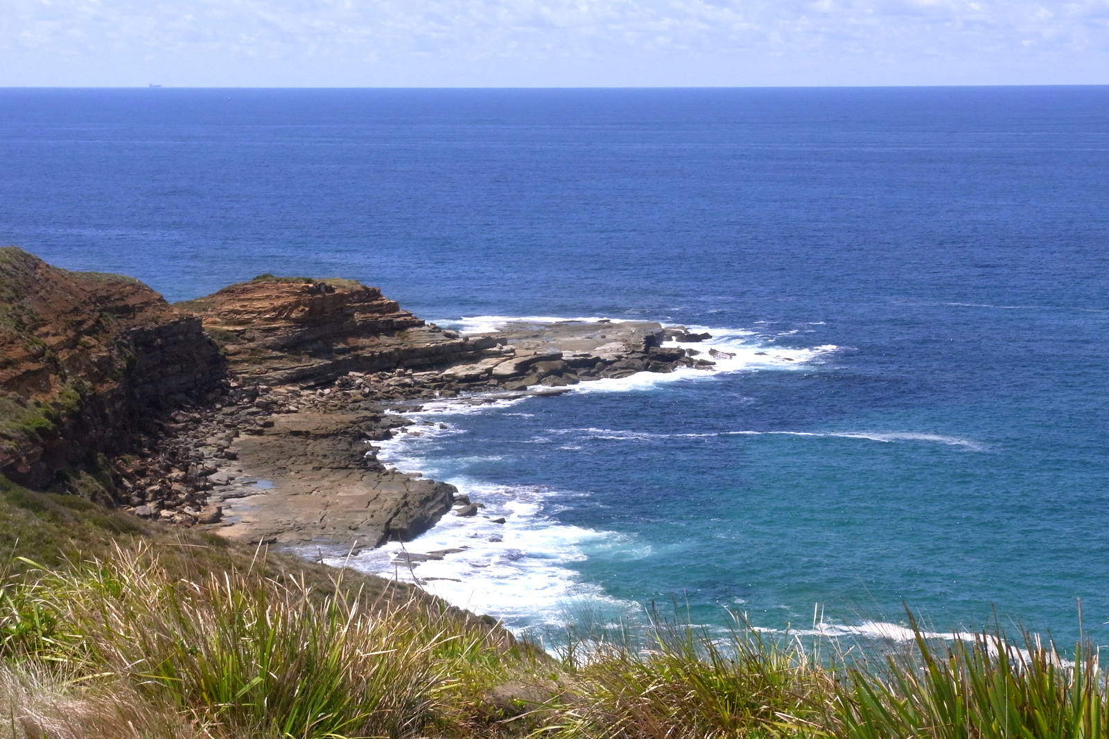
Remote walk-in Royal National Park beach under Burgh Ridge — heritage cabins, palm jungle, no road.
About this place
Burning Palms is a walk-in beach in southern Royal National Park / Garawarra, with heritage coastal cabins and cabbage tree palms. No vehicle access. Usual day walk is Palm Jungle loop from Garawarra Farm (10km, 4–6 hours) down steep Burgh Ridge, or the Coast Track between Garie and Otford. Figure Eight Pools is a side trip south — only in low tide and low swell using the NPWS wave-risk tool (Figure 8 is already in Hikezilla). As of late August 2026 NPWS advises beaches between Garie and Burning Palms are closed to swimming due to shark activity around a whale carcass. The beach and tracks remain a valid visit; do not enter the water until the alert lifts. OSM hamlet: 34.18550°S 151.04636°E.
Access & getting there
No road to the sand. Garawarra Farm has toilets and is the usual day-walk start. $12 vehicle entry. Steep descent and climb.
Walk in from Garawarra Farm carpark (Garie Rd) or via The Coast Track from Garie Beach or Otford, Royal National Park NSW 2508
Safety notes
Do not swim while the Garie–Burning Palms shark alert is in place. Steep tracks. Figure Eight Pools is a hazardous rock shelf. Limited reception.
Gear notes
Sturdy shoes, lots of water, hat, sunscreen. Do not rely on a swim to cool off while the shark closure lasts.
On the map
Community photos
Posts from this place will appear here soon.
Events nearby
Linked Hikezilla events coming soon.
Connected challenges
Tied to challenges — coming soon.