

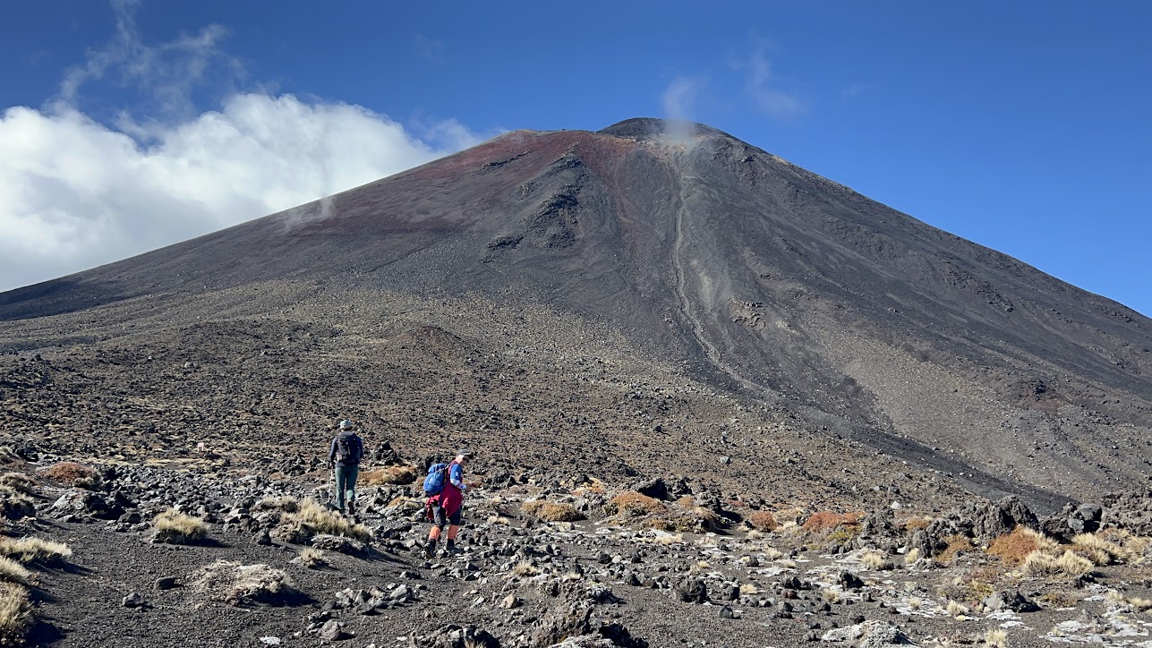
Tongariro Alpine Crossing
Tongariro National Park
Tackle New Zealand's premier one-day trek through a dramatic volcanic landscape of emerald lakes and steaming vents.
The expedition
Overview
The Tongariro Alpine Crossing is a thrilling 19.4-kilometer day hike through New Zealand’s dramatic volcanic landscape. Often dubbed one of the world’s best one-day walks, it takes you past steaming vents, vibrant emerald lakes, and the iconic Mount Ngauruhoe (Mount Doom for Lord of the Rings fans). With breathtaking views and ever-changing terrain, it’s a must-do for adventurers seeking a truly unforgettable experience.
Resources
- Tongariro Crossing Official Site — Official information, safety alerts, and booking requirements.
Route Details
- Distance: 19.4 km (Point-to-point)
- Duration: 6–8 hours
- Key Landmarks: South Crater, Red Crater, Emerald Lakes, Blue Lake.
Safety & Preparation
The weather in Tongariro National Park is highly unpredictable. Always check the forecast and ensure you have appropriate alpine clothing, plenty of water, and sturdy footwear. During winter (June–October), alpine equipment and experience are essential.
Your objectives
Successfully hike the full 19.4km route from Mangatepopo to Ketetahi.
Patches & badges
Complete this challenge to earn a Hikezilla patch (badges coming soon).
Recent completions
Soon: see fellow members who recently finished this quest.