

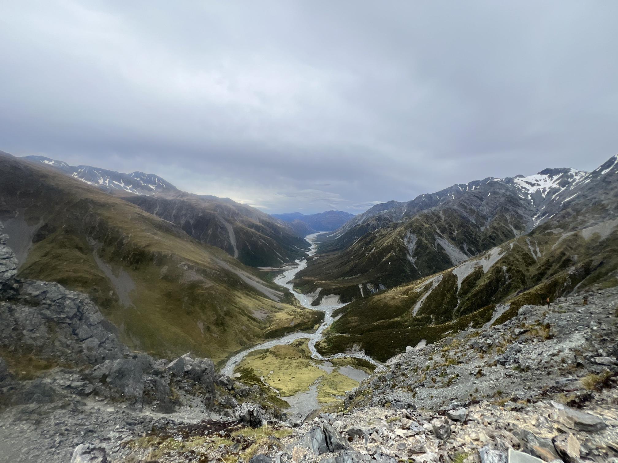
Three Passes in Arthur's Pass National Park - A classic New Zealand Summer Tramp
Explore the iconic Three Passes tramp in Arthur’s Pass National Park, a challenging 4-day alpine route featuring Harman, Whitehorn, and Browning passes.
This blog was posted in the old hikezilla website
Friday 27th December 2024 – Monday 30th December 2024
Start Point: O’Malley Track Car Park
End Point: Milltown Bridge
Attendees: William (Leader), Rah & Kenny
Wanting to avoid crowds and tourist hikers, we kicked off our post-Christmas New Zealand trip with the iconic Three Passes tramp in Arthur’s Pass National Park. This summer classic promised stunning alpine landscapes and a much-needed escape into nature.
26th December: Day 0: Arrival and Preparations
I flew into Christchurch late on Christmas Day. The next morning, we picked up our rental car, summited Mount Vernon on a short hike, and did some last-minute Boxing Day shopping for essentials.
Originally, we planned to drive to Hokitika, leave our car at the Styx River car park, and catch a shuttle to O’Malley car park. However, we decided to adapt as needed based on the weather forecast predicting rain. Concerned about possible break-ins along SH73, we arranged with Quarter Bealey Motel to store our luggage for the next 6 days.
27th December: Day 1: O’Malley Car Park to Carrington Hut (17 km, 6 hours)
We began hiking around 11 AM. The trail to Carrington Hut was easy-going but longer than expected. Official estimates of 4-5 hours stretched to six for us, largely due to frequent stops for photos and river crossings.
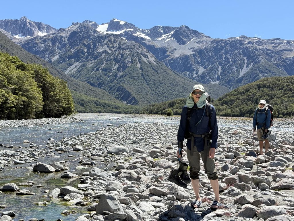 The Waimakariri River was relatively dry, but we still had to remove our shoes a few times.
We reached Carrington Hut around 5 PM to find just two other groups. With 36 bunks, there was ample room for everyone.
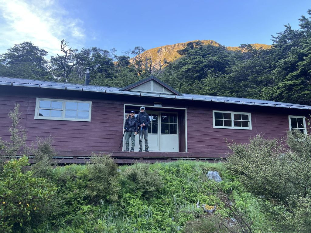 Carrington Hut, large hut with 36 bunks.
28th December: Day 2: Carrington Hut to Park Morpeth Hut (17 km, 13 hours)
This was a big day. Early on, Rah lost a hiking pole in the White River. Accepting that wet shoes were inevitable, we began crossing rivers with shoes on, focusing on safety.
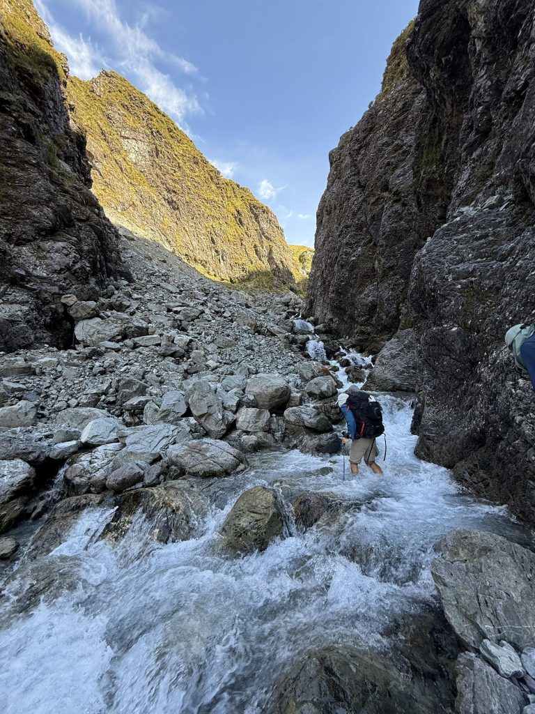
The climb to Harman Pass was straightforward, though the river currents were strong.
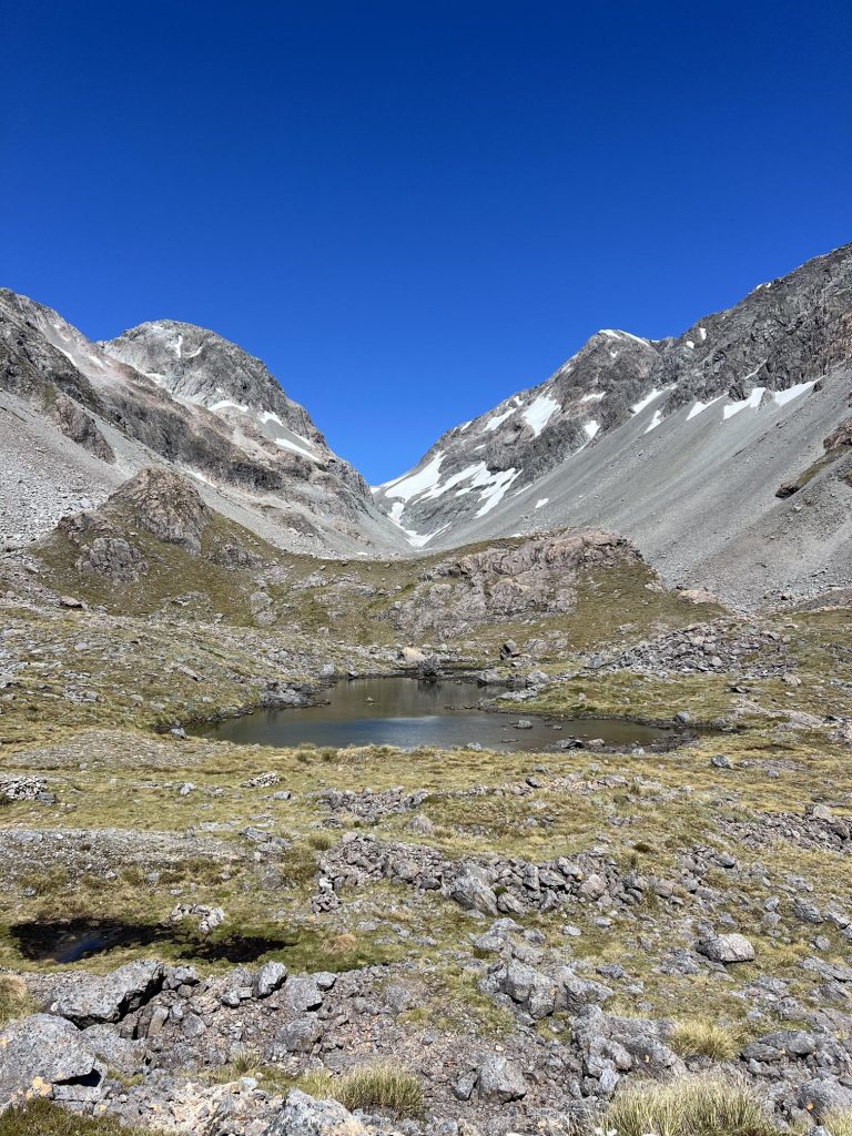 You’ll reach Ariel Tarn shortly after reaching Harman Pass.
The ascent to Whitehorn Pass was more interesting as we navigated the permanent icefield. The summit views were breathtaking.
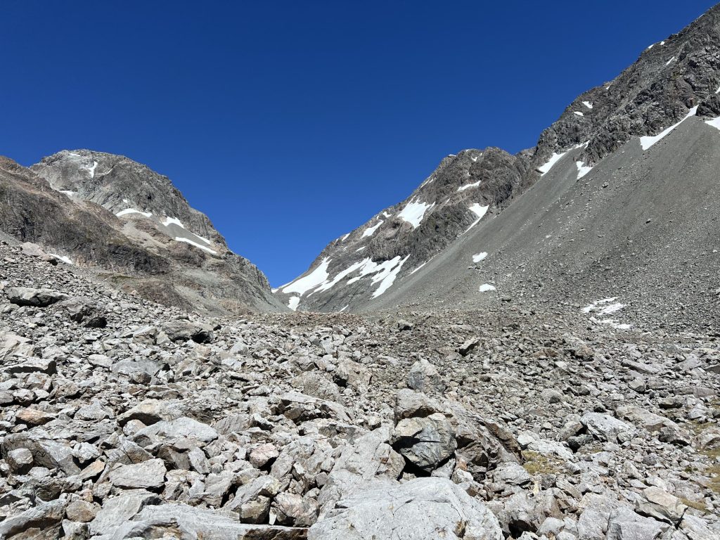
The descent was steep and well-marked through avalanche chutes and scree. We arrived at Park Morpeth Hut around 8 PM.
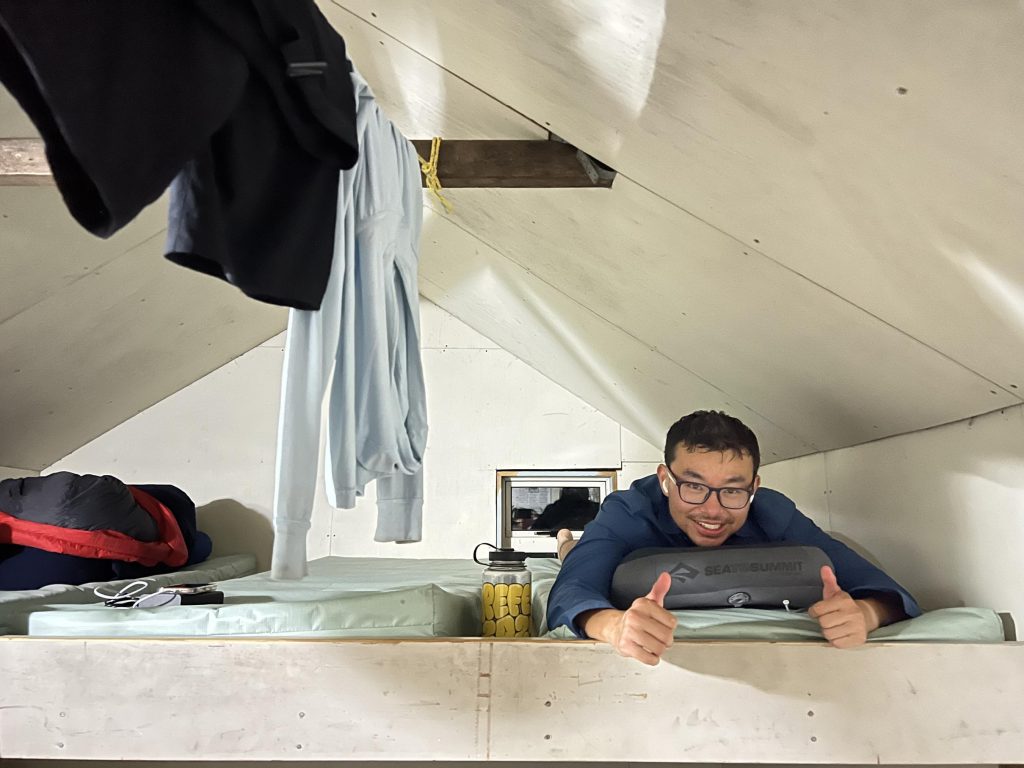
29th December: Day 3: Park Morpeth Hut to Mud Flat Hut (19 km, 10 hours)
We started at 7:30 AM to beat the rain. The climb to Browning Pass was very steep and exposed near the top.
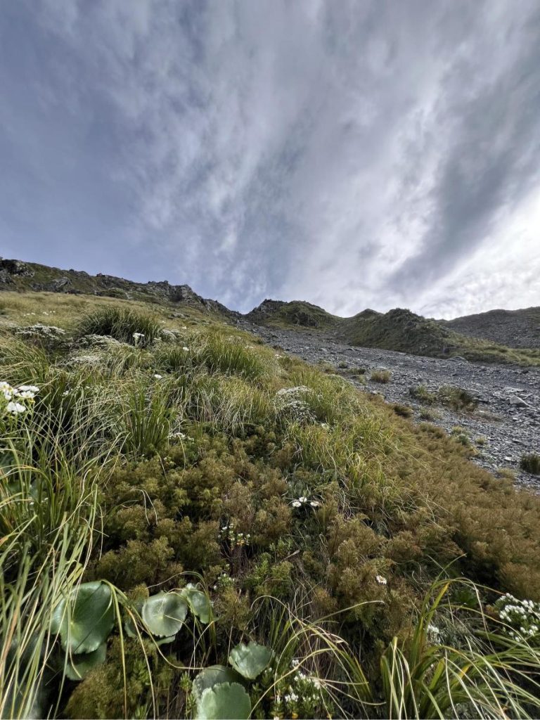
Once at the top, the views of Lake Browning were incredible. The most exposed bit of the Three Passes was over.
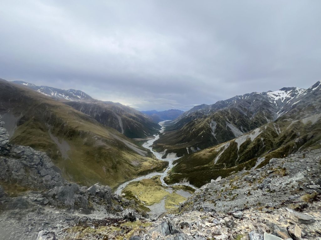
We descended to Harman Hut for lunch and continued toward Styx Saddle. As heavy rain began, we opted for the safer Arahua Pack Track exit. We reached Mud Flat Hut around 5 PM, drenched but safe.
30th December: Day 4: Mud Flat Hut to Milltown Bridge (23 km, 7 hours)
Rain dominated the final day. The track included multiple slippery river and waterfall crossings. By noon, we were practically walking in water out to Milltown Bridge.
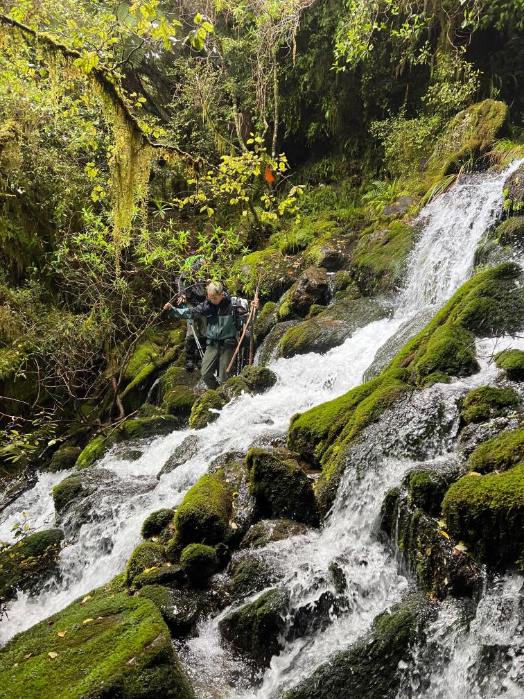
At Milltown Bridge, two locals kindly offered us a ride back to our car at the Styx River Track carpark, saving us a long road walk in the rain.
Final Thoughts
The Three Passes tramp was a challenging yet rewarding experience, blending breathtaking scenery with moments of trial. It’s a must-do for hikers seeking a remote alpine adventure in New Zealand.
Tips:
- Don’t need to filter water; drink from fresh flowing rivers.
- Sandflies are persistent; use insect repellent.
- Your feet will get wet; don't waste time trying to keep them dry during river crossings.
- If rain is predicted, take the Arahua Pack Track exit.
Strava Stats:
- Distance: 74.78 km
- Elevation: 2,989 m
- Moving Time: 23:14:53
Enjoyed this story? Share the trail.